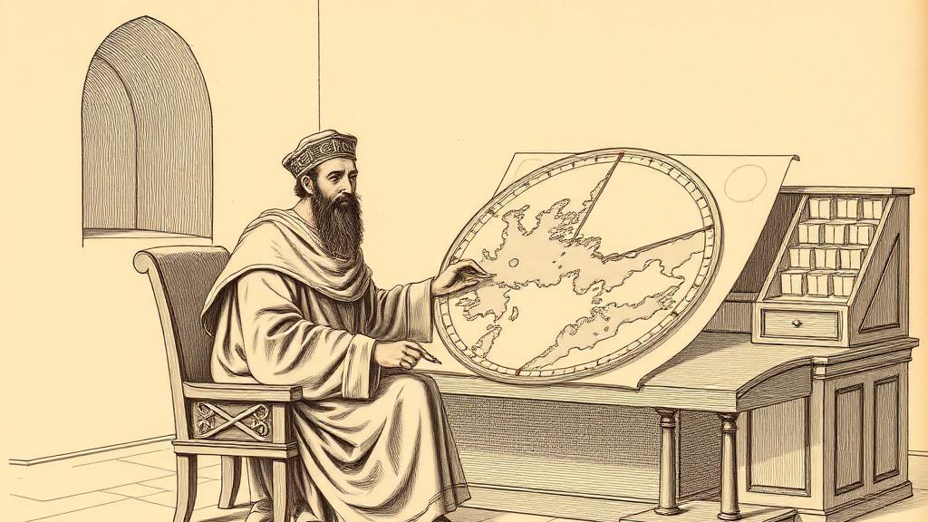
Al-Idrisi's silver map, or how a Norman king bought the world
In 1154, in the royal palace at Palermo, an eighty-inch silver disc was carried into the presence of Roger II of Sicily. It weighed roughly three hundred pounds, took fifteen years to complete, and showed the entire known world — from Ireland to Southeast Asia — drawn upside-down. Roger lived only weeks beyond its delivery. The disc is gone now, melted for scrap in a Palermo uprising six years later, but the idea it carried survived.
The man who made it was Abu Abdullah Muhammad al-Idrisi, born around 1099 in Ceuta, a North African port at the Strait of Gibraltar. He was a nobleman in exile — a descendant of the Idrisid dynasty that had founded Morocco — and an alumnus of the great university at Córdoba. Before he arrived in Palermo around 1138, he had already crossed the Sahara, traveled the coasts of France and England, and possibly reached York. He was precisely the kind of scholar Roger wanted: someone who had seen the world and knew how little of it had been drawn accurately.
Roger II ran what was, by the standards of the twelfth century, a radically tolerant kingdom. His court at Palermo operated in Arabic, Greek, and Latin simultaneously; his robes and palace mosaics owed as much to Arab aesthetic as to Norman. He had no interest in the Christian Mappa Mundi tradition, which placed Jerusalem at the center and theologically convenient seas around the rim. He wanted something empirically useful — coastlines, trade routes, distances. So he set al-Idrisi to work, and the two spent the next decade and a half running what amounted to a geographical research bureau inside the palace, systematically interrogating every merchant, sailor, and diplomat who passed through Sicily. When sources disagreed, al-Idrisi retained only what he could independently verify.
The result was the Nuzhat al-mushtaq — “The Pleasure of Him Who Longs to Cross the Horizons” — a text paired with a seventy-sheet atlas and the silver disc. Oriented with south at the top, following the convention of the Islamic cartographer Ibn Hawqal, the maps look disorienting until you rotate them: then the Mediterranean snaps into recognizable shape, the coastlines of North Africa and Spain resolved with a precision that European cartography would not match for three centuries. Al-Idrisi put Earth’s circumference at about 37,000 kilometers. The actual figure is 40,075. For the twelfth century, that is uncomfortably accurate.
And then Roger died — 26 February 1154 — a few weeks after the presentation. His son William I inherited the throne and, in 1160, a popular uprising. A mob sacked the palace. The silver disc was looted and almost certainly smelted. The original gift copy of the Nuzhat went with it. What survives are the copies al-Idrisi made for William I, of which ten manuscript versions are known. The oldest, MS Arabe 2221 at the Bibliothèque nationale de France, dates from around 1325. The most complete sits in the Süleymaniye Library in Istanbul.
For three centuries, geographers copied his maps without alteration. Not because they lacked ambition, but because they lacked better data.
Sources
- Tabula Rogeriana — Wikipedia — physical description of the silver disc, atlas structure, manuscript locations, dating.
- Muhammad al-Idrisi — Wikipedia — biography, education, travels, and cartographic legacy.
- Al-Idrisi and Roger II — Factum Foundation — research methodology, Roger’s motivations, manuscript survival.
- A Wonder of the Multicultural Medieval World — Public Medievalist — political context of Roger II’s court, the map’s multicultural origins, its legacy.