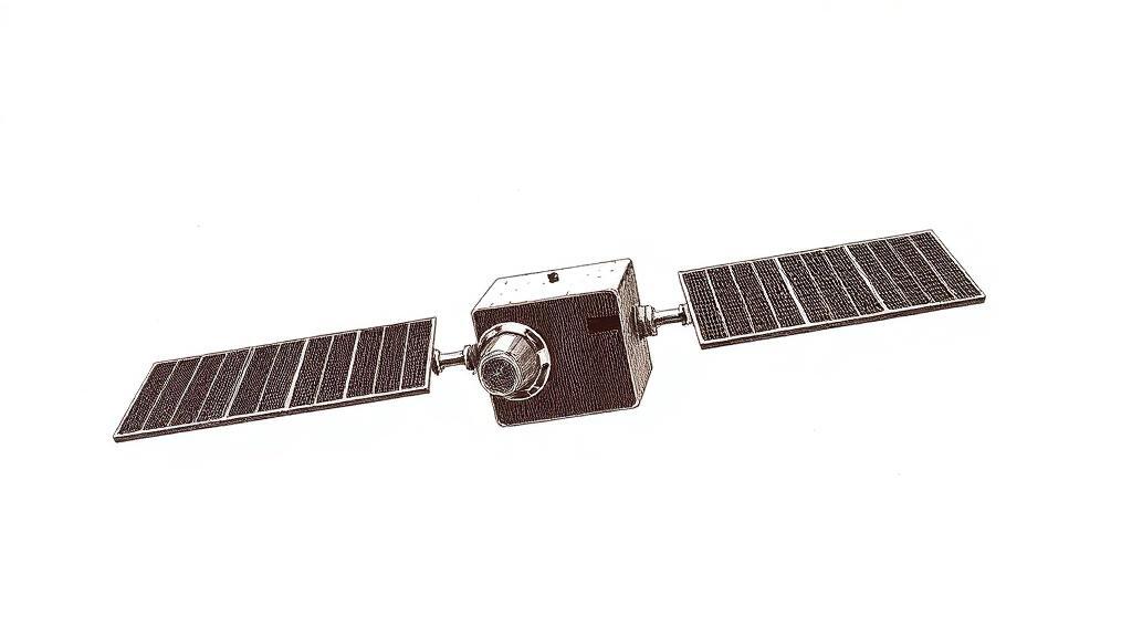
Landsat 1: the satellite that corrected the charts
The nautical charts showed open water. The satellite showed an island.
In 1976, Elizabeth Fleming of Canada’s Topographical Survey was working through Landsat imagery from 1973 and 1974 — a desk job, the kind that involves pattern-matching one frame at a time — when she noticed a spectral signature off the Labrador coast that no chart had ever recorded. Not a cloud, not an iceberg: an island. Twenty-five by 45 metres of bare rock, twenty kilometres offshore, already occupied by polar bears. Every nautical map since the age of sail had described that water as empty. They were wrong.
Four years before Fleming’s desk job paid off, a Delta 900 rocket lifted off from Vandenberg Air Force Base on July 23, 1972, carrying the ungainly-named Earth Resources Technology Satellite — ERTS-1, renamed Landsat 1 the following year. The mission was experimental, budgeted for twelve months. Engineers wondered whether it would work at all. It lasted six years, circling the Earth every 103 minutes in a sun-synchronous polar orbit 917 kilometres up, covering the same patch of ground every eighteen days, and collecting roughly 175,000 scenes before decommissioning in January 1978.
The intended workhorse was the Return Beam Vidicon camera. It failed within weeks of launch. The backup — the Multispectral Scanner System, four spectral bands, 80-metre resolution, swaths 185 kilometres wide — carried everything. By the end of 1973, the MSS had captured near-complete global land coverage with consistent quality and geometric accuracy that no fleet of aircraft had managed at scale.
What cartographers found in that coverage was clarifying. Landsat imagery prompted the redrawing of 1,200 miles of Antarctic coastline, the correction of Amazon tributary positions, and the revision of nautical charts that had been accepted for generations. Petroleum geologists found fault lines and fractures — geological lineaments invisible at ground level — that guided new exploration. Charts that had served for centuries turned out to be wrong in places nobody had thought to check, because checking had once meant sending a ship.
Fleming’s island was confirmed by survey in 1977. The Canadian Hydrographic Service named it Landsat Island — over a surveyor’s suggestion of “Polar Island,” an entirely reasonable alternative, given that the bears had established prior claim. The discovery extended Canada’s maritime territory by 68 square kilometres: a rectangle of ocean sovereignty owed entirely to spectral analysis at 917 kilometres altitude.
The deeper legacy was the archive. Landsat 1’s successors have flown continuously since 1972, returning the same swaths on the same schedule across five decades. A scientist today can set the Aral Sea of 1975 beside the Aral Sea of 2025; can watch the Amazon contract, the glaciers retreat, the cities advance — all in the same units, the same resolution, the same calibration. Aerial photography made maps more detailed. Landsat made the map a record of time.
Fleming’s rock is still on the charts. The eighteen-day orbit runs on, and the Earth it photographs keeps changing.
Sources
- Landsat 1 — U.S. Geological Survey — launch date, orbital parameters, mission duration, MSS specifications, coverage figures.
- Landsat 1 — NASA Science — cartographic impact, including Antarctic coastline correction, Amazon tributary revisions, and geological lineament discovery.
- Landsat Island — NASA Science — Elizabeth Fleming’s 1976 discovery and the 1977 survey confirmation.
- Landsat Island — Wikipedia — island dimensions, the naming debate, and the addition to Canada’s maritime territory.