Aerial photogrammetry: the camera that replaced the surveyor
In the spring of 1944, a team of analysts in the English countryside was assembling a map of a coastline they were not allowed to visit. Working from thousands of overlapping photographs shot by unarmed Spitfires flying at altitude, they produced a photogrammetric mosaic of the Normandy beaches detailed enough to count the steel obstacles the Germans had planted in the surf. They had also photographed every other stretch of the French coast, because the Germans were watching: only a fraction of the mosaic was the real target.
The operation ran from Danesfield House at Medmenham, Buckinghamshire — a Victorian Gothic pile above a bend in the Thames that the RAF requisitioned in April 1941. The Central Interpretation Unit grew from 231 staff to more than 1,700 by 1944, producing 1,500 intelligence reports and 600,000 photographic prints every month. It was the most intensive cartographic operation the world had yet attempted.
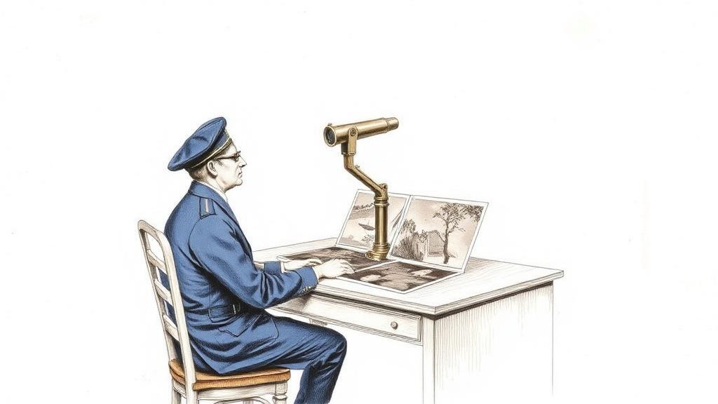
The technique that made it work was elementary in principle and astonishing in output. Reconnaissance aircraft flew each run with a 60 per cent overlap between consecutive frames, so that adjacent photographs captured the same ground from slightly different angles — exactly as the two eyes do. Placed under a stereoscope, the pair locked into three dimensions: a flat contact print became a landscape in relief.
From that binocular illusion, photogrammetrists computed actual measurements: building heights, road widths, beach gradients, and the contour lines that had once required Cassini’s surveyors decades to produce on French soil. A single afternoon’s flying could resolve what a theodolite party had needed months to survey on the ground.
The analysts at Medmenham were, by the standards of any mapping bureau, unexpectedly literary. Constance Babington Smith had covered aviation for The Aeroplane magazine before the war; at the CIU she commanded the aircraft-identification section, the only specialist trained to recognise aircraft types from directly above. In 1943 she noticed scorch marks on the grass at Peenemünde and, beside them, a tiny ramp-mounted silhouette: the first photographically identified V-1 flying bomb. The same attentiveness that reads a map — what belongs here, what does not — had spotted a weapons programme in a grass stain.
After 1945 the techniques stayed put. The US Geological Survey formally adopted aerial photogrammetry as its primary tool for topographic mapping and began producing the 7.5-minute quadrangle series — maps at 1:24,000 scale covering the entire United States — a project that would run from 1947 into the 1990s. The Ordnance Survey followed. The ground party that had defined national cartography since the eighteenth century — theodolite, chain, benchmarks hammered into hillsides, triangulation stations visible for miles — shrank to a check on what the aircraft had already resolved.
What Danesfield House demonstrated, at a scale no peacetime programme would have funded, was that a photograph taken at altitude was a map waiting to be measured. Aimé Laussedat had proposed as much from a kite above Paris in 1858. The RAF proved it at continental scale, under pressure, in time for the landings.
The same logic that pointed a camera downward at Normandy from 30,000 feet would, within a generation, point one downward at the whole planet from orbit.
Sources
- RAF Medmenham — Wikipedia — founding, staffing numbers (231 to 1,700), monthly output (1,500 reports, 600,000 prints), and the 60 per cent stereo overlap technique.
- Constance Babington Smith — RAF Museum — biography, aircraft-identification work, and the 1943 V-1 discovery at Peenemünde.
- USGS Aerial Photo Mosaics — USGS EROS — the postwar US topographic mapping programme and the 7.5-minute quadrangle series.
- Balloons to Battlefields: European Pioneers of Aerial Surveying — LiDAR News — Laussedat’s 1858 kite photography and the photogrammetric lineage from Paris to the RAF.