Navstar 1 and the clock that tells you where to turn
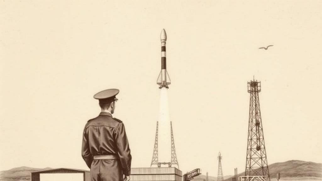
At Vandenberg Air Force Base on 22 February 1978, an Atlas F rocket carried a satellite that almost nobody was cleared to discuss. Navstar 1 weighed roughly 845 kilograms and had been built by Rockwell International at their Seal Beach, California plant — the same facility where Saturn V stages had been assembled a decade earlier. The space race had changed gear. This was not about going somewhere. It was about knowing, with a precision never before available, exactly where you already were.
The U.S. Air Force had consolidated several competing navigation experiments — Transit, Timation, 621B — into the NAVSTAR program in 1974. The underlying problem was old and urgent: how do you guide a missile, a submarine, or a soldier in real time, in any weather, anywhere on Earth? The answer required putting atomic clocks in orbit. A GPS receiver on the ground works by comparing the arrival times of radio signals from at least four satellites; since those signals travel at the speed of light, a few nanoseconds of difference converts directly into position. The math is Einsteinian. The concept is the same triangulation surveyors had used for centuries, conducted from 20,000 kilometres up.
Ten Block I developmental satellites launched between 1978 and 1985, each designed to survive five years. The last one kept working until November 1995 — nearly double its design life, which turned out to be a trait of the program generally.
The shift that opened GPS to the wider world came not from an engineering decision but from a crash. On 1 September 1983, Korean Air Lines Flight 007 — a 747 carrying 269 people from New York to Seoul — strayed into Soviet airspace after a faulty navigation setup was never corrected during the flight. Soviet interceptor pilot Genadi Osipovich later recalled seeing the airliner’s lit cabin windows and running lights before he fired. All 269 aboard died. Two weeks later, President Reagan announced that once complete, GPS would be made available to civilian aviation free of charge. The system would prevent such errors.
What Reagan didn’t lead with was the catch. Civilian signals would carry selective availability: an intentional degradation that kept civilian accuracy somewhere between 50 and 100 metres, so no adversary could use American satellites to aim weapons with American precision. That restriction stayed in place for seventeen years. On 1 May 2000, President Clinton ordered it switched off. Overnight, civilian accuracy jumped from roughly 100 metres to 20.
The first civilian GPS receiver, the Magellan NAV 1000, went on sale in 1989 for three thousand dollars and needed about two minutes to locate itself. By 2007 the same capability sat inside a phone. Every delivery route optimised, every navigation app launched, every phone that quietly tells you to turn left at the corner — all of it traces back to that classified Atlas F lift-off on a February morning in 1978.
Navstar 1’s Block I siblings burned out one by one between 1985 and 1995. By then the question they had been built to answer had already become something else: infrastructure, like electricity, the kind you only notice when it fails.
Sources
- Navstar 1 — History.com — February 22, 1978 launch date, Vandenberg Air Force Base, KAL 007 connection, Magellan receiver.
- GPS satellite blocks — Wikipedia — Block I specifications, Rockwell International’s Seal Beach facility, launch history and satellite lifespans.
- GPS selective availability — GPS.gov — Intentional signal degradation, Clinton’s May 2000 decision, accuracy improvement from 100 metres to 20.
- KAL 007 and civilian GPS — Vice — KAL 007 incident details, Osipovich’s recollection, Reagan’s announcement timeline.