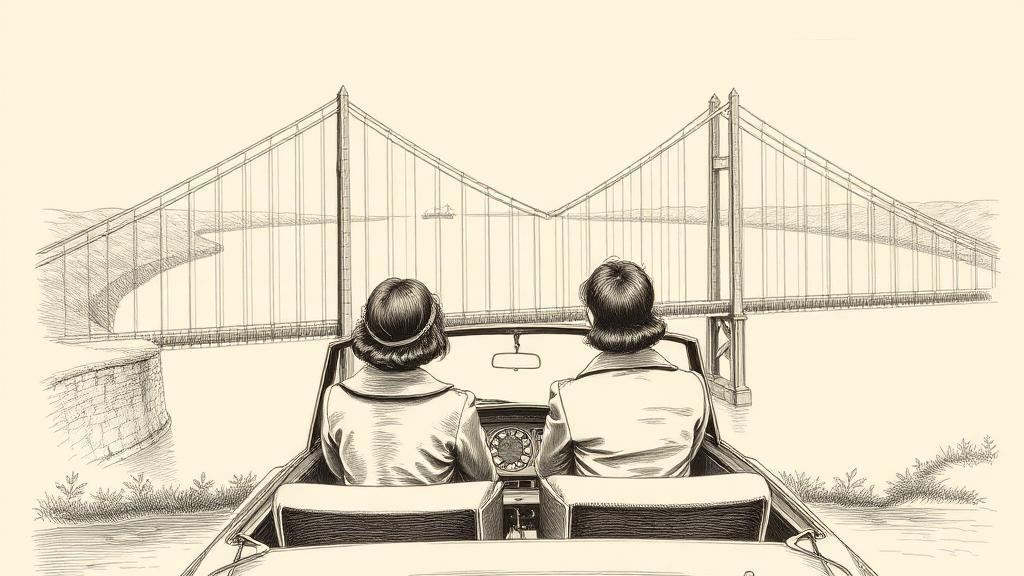
The Humber Bridge and the curvature of the Earth
On the morning of 24 June 1981, Jennifer Hall and Christine Goodrum, both in their early thirties, drove their S-registration Vauxhall Viva onto the Humber Bridge after queuing overnight to be the first across. Behind them, a queue of 15,000 vehicles stretched back into Hessle. By the end of the day, the toll booths had taken £1,000 an hour. No one who sat in that queue could have known that the two concrete towers above them were not, quite, parallel.
The bridge spans the tidal estuary where the Trent and Ouse meet, connecting the East Riding of Yorkshire to Lincolnshire — two counties that had shared a river for centuries without a fixed crossing. The political origin of the bridge is, by civil engineering standards, unusually candid. Following the 1966 Kingston upon Hull North by-election, Prime Minister Harold Wilson instructed his Transport Minister, Barbara Castle, to authorise construction. The commitment was, in effect, a campaign promise cast in concrete. Construction began on 27 July 1972.
The bridge that emerged from Bernard Wex’s 1964 design for the consulting firm Freeman Fox & Partners is a suspension bridge with a main span of 1,410 metres — 4,630 feet of deck hanging from two cables, each weighing 5,400 long tons and made up of 37 strands of 404 individual galvanised steel wires. The towers, unusually for a span of this scale, are hollow reinforced concrete rather than steel: the first major suspension bridge to use concrete in that role. They rise 155 metres above the water.
Construction was not smooth. The southern tower, planted in fissured Kimmeridge Clay on the Lincolnshire bank, proved treacherous. In March 1975, workers struck an artesian well in the caisson — pressurised water forcing up through the clay, compromising the bentonite layer used to stabilise the excavation. The fix required adding 3,000 tonnes of kentledge weight to each caisson. The delay cost three years.
Here is the detail that survives every engineering lecture about this bridge. The two towers are both perfectly vertical. And yet, because the span is long enough that the curvature of the Earth cannot be ignored, the tops are 36 millimetres further apart than the bases. The bridge is long enough that the planet itself had to be factored into the surveying. That is not a metaphor. It is a number in the structural records.
When Queen Elizabeth II formally opened the bridge on 17 July 1981, it was the longest single-span suspension bridge in the world — a record it held for seventeen years, until the Akashi Kaikyō Bridge opened in Japan on 5 April 1998. The Akashi main span is 1,991 metres; the Humber, at 1,410, remains the longest suspension bridge in the world that can be crossed on foot or by bicycle.
What the Humber settled, beyond the record, was that very long suspension spans could be built as infrastructure rather than monuments. The concrete tower technique, the aerodynamic deck profile, the cable-spinning method descended from John Roebling’s Brooklyn Bridge — all of it passed into the toolkit that the next generation of engineers would carry to the Akashi Strait, the Bosphorus, and the strait at Çanakkale.
The two towers are still not parallel. They never will be.
Sources
- Humber Bridge — Wikipedia — opening dates, span dimensions, political origin (Wilson, Castle, 1966 Hull North by-election), designer Bernard Wex and Freeman Fox & Partners, construction challenges (artesian well, Kimmeridge Clay), earth curvature detail (36mm), first crossing (Jennifer Hall and Christine Goodrum), record duration, concrete tower innovation.
- Transportation History: 1981 Humber Bridge Opens to Traffic — 17-year record duration, geographic context (Trent/Ouse estuary), current global ranking.