MapQuest, then Google Maps: the web learns where it is
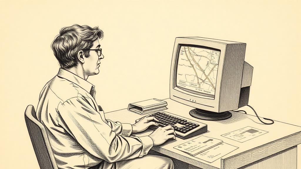
The directions ran to three pages. Page one got you to the highway. Page two threaded the suburbs. Page three said to turn left at the gas station and park behind the building — and if you squinted at the corner inset, there was a tiny map agreeing with all of it. Nobody had printed directions from a website before, because until February 1996, there was no website that could give them.
MapQuest went live on February 5, 1996, assembled by a team in Lancaster, Pennsylvania that had spent the previous decade building printed road maps for gas stations. The parent company, GeoSystems Global Corporation, had been spun out of R.R. Donnelley’s cartographic division in 1994 — the same outfit that had been putting fold-out maps in glove compartments since 1967. What the team did was take thirty years of cartographic data and a pile of existing map-rendering code and persuade them to work on the web. The two flagship features were called Interactive Atlas and TripQuest. The first let you type an address and get a map. The second gave you turn-by-turn directions. Combined, they were the first time any of this had been possible from a browser window.
By November 1998, MapQuest was the 34th most-visited website on the internet and the number-one travel site in the world. AOL bought it in December 1999 for $1.1 billion. The paper-directions era was at its peak.
Then four people in a spare bedroom in Hunters Hill, Sydney began thinking about something different.
In 2003, Danish brothers Lars and Jens Rasmussen teamed up with Australian engineers Noel Gordon and Stephen Ma in the house Gordon shared with his girlfriend. They worked nine-to-five — unusual for a startup, but Gordon’s girlfriend had insisted that the spare bedroom they were using as an office had to return to being a bedroom after business hours. They called their product Expedition. It was a downloadable desktop app. In June 2004, Lars Rasmussen flew to California to pitch it to Larry Page. Page listened, then reportedly said: “We like the web.” The team rebuilt it for the browser and, after a three-week negotiation documented on Gordon’s whiteboard, Google acquired Where 2 Technologies in October 2004 for an undisclosed sum.
Google Maps launched at 7 p.m. Pacific time on February 7, 2005. By 7:45 the next morning it was Slashdotted — traffic overwhelming the servers after the technology site linked it. The difference from MapQuest was immediate and tactile: you could click the map and drag it. MapQuest had reloaded the whole page every time you panned. Google’s “slippy map” felt live. In April 2005 satellite imagery launched, and Larry Page had insisted — over engineers’ objections — that the coverage be planetary rather than limited to the top 200 cities. That cost an extra $3 million from Digital Globe and broke the servers again.
In June 2005, Google released a public API. Developers could drop a Google Map into any website they wanted. Yelp embedded it. Trulia embedded it. Zillow embedded it. The map stopped being a destination and became infrastructure — a background layer that the rest of the web ran on top of.
MapQuest never recovered. It had gotten to a billion dollars by being first. It lost the decade by staying still.
Every map you pull up on your phone today descends from that nine-to-five bedroom operation in Hunters Hill. The world is still in there, tile by tile.
Sources
- MapQuest — Wikipedia — founding history, February 1996 launch, GeoSystems and R.R. Donnelley background, AOL acquisition.
- MapQuest — Map Happenings — November 1998 web traffic rankings, IPO details, product features, decline after Google Maps.
- The Untold Story About the Founding of Google Maps — Medium — Where 2 Technologies founding in Sydney, Larry Page negotiation, October 2004 Google acquisition.
- Google Maps — Map Happenings — February 7 2005 launch time, Slashdot traffic event, satellite imagery expansion, API debut and downstream services.