Google Street View and the view from the curb
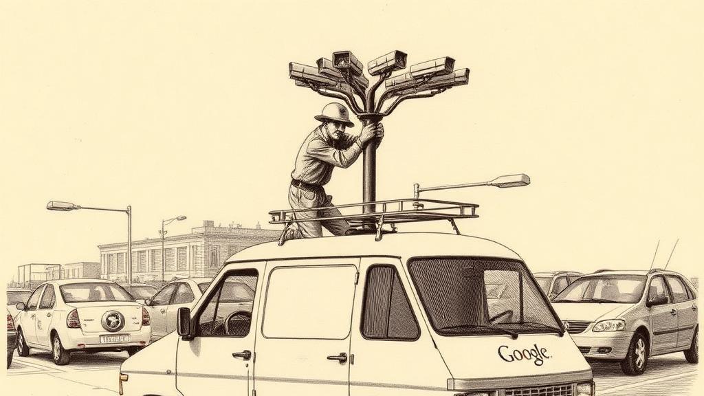
In the spring of 2006, a Google engineer named Luc Vincent drove a modified security van around San Francisco with eight cameras bolted in a ring on the roof, lasers fixed to each side, and four computers stacked in the back processing data as he went. He later described it as a “Frankenstein-looking car.” The machine he was testing would, within a year, let anyone on Earth stand at a corner in Miami or a crossroads in Kyoto without leaving their desk.
Google Street View launched on May 25, 2007, initially in five US cities: San Francisco, New York, Las Vegas, Miami, and Denver. The idea had a forty-year-old precedent. In 1978, Andrew Lippman and Michael Naimark at MIT’s Media Lab filmed the entire street grid of Aspen, Colorado from a car-mounted camera and built a navigable simulation — the Aspen Movie Map — that ran on custom LaserDisc hardware. It required a room. Google’s contribution was fitting the same concept into a browser tab.
The more direct lineage ran through Stanford. Google co-sponsored the City Block Project there in 2001, developing techniques for stitching video frames into continuous panoramic views. When that project ended in 2006, its methods migrated to Google. Larry Page had, separately, already strapped a camera to his own car and driven the streets of San Francisco — a detail that sounds eccentric until you remember who he was working for.
The first dedicated hire for Street View, Daniel Filip, joined in October 2005. For the actual launch, Google contracted Immersive Media to drive all five cities in VW Beetles fitted with the Dodeca 2360 — a $65,000 camera shaped roughly like a soccer ball that captured 100-megapixel stills or 360-degree video at 30 frames per second. Imagery was shot at intervals of nine to fifteen feet. On the back end, stitching software assembled the frames into a navigable view that opened whenever a user clicked a mapped street in Google Maps.
Google had not given much thought to what those photographs would contain. Within days of launch, users had found a man leaving a strip club, sunbathers in their gardens, and cars parked outside an abortion clinic — none of it illegal to capture from a public street, none of the subjects asked or warned. On launch day, Vincent recalled, traffic “went through the roof” and immediately hit Google’s serving ceiling. Privacy objections arrived at roughly the same speed. Face-blurring technology was added in May 2008 — an algorithm that had to be invented specifically because Street View existed.
What Street View changed was what a map could contain. Every tool that preceded it — Ptolemy’s coordinates, Mercator’s projection, the Ordnance Survey, even satellite imagery — described the world from above or from a distance. Street View described it at eye level, from the pavement. The billions of labeled street images it generated would later become training data for the computer-vision systems that would attempt to make cars navigate on their own.
The map, for ten thousand years, had been a view from nowhere in particular. After May 2007, it was also the view from the curb.
Sources
- Google Street View — Wikipedia — launch date and initial cities, Stanford City Block Project origins, privacy controversy, face-blurring rollout.
- Going Places: A History of Surrogate Travel and Google Maps with Street View — Computer History Museum — MIT Aspen Movie Map precedent (1978), Larry Page’s car experiments, Luc Vincent’s engineering role.
- Inside Google Street View — TechCrunch — Daniel Filip hire date, “Frankenstein-looking car” and launch traffic quotes, rosette camera design.
- A Brief History of Street View Cameras — Trek View — Immersive Media’s Dodeca 2360, VW Beetles, $65,000 cost, early camera generations.